
卓乃湖 topographic map
Interactive map
Click on the map to display elevation.
About this map
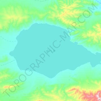
Name: 卓乃湖 topographic map, elevation, terrain.
Location: 卓乃湖, 索加乡, 治多县, 玉树藏族自治州, 青海省, 中国 (35.47875 91.78500 35.62300 92.10725)
Average elevation: 4,830 m
Minimum elevation: 4,734 m
Maximum elevation: 5,400 m
Other topographic maps
Click on a map to view its topography, its elevation and its terrain.