
平頂山 topographic map
Interactive map
Click on the map to display elevation.
About this map
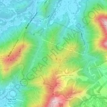
Name: 平頂山 topographic map, elevation, terrain.
Location: 平頂山, 北區, 新界, 香港, 中国 (22.49235 114.17241 22.49245 114.17251)
Average elevation: 154 m
Minimum elevation: 12 m
Maximum elevation: 411 m
Other topographic maps
Click on a map to view its topography, its elevation and its terrain.