
粉嶺康樂公園 topographic map
Interactive map
Click on the map to display elevation.
About this map
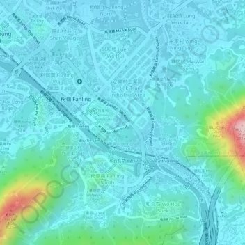
Name: 粉嶺康樂公園 topographic map, elevation, terrain.
Location: 粉嶺康樂公園, 田心, 黃崗山 Wong Kong Shan, 粉嶺樓村, 北區, 新界, 香港, 中国 (22.49128 114.14308 22.49262 114.14453)
Average elevation: 42 m
Minimum elevation: 3 m
Maximum elevation: 268 m