
吳屋村 topographic map
Interactive map
Click on the map to display elevation.
About this map
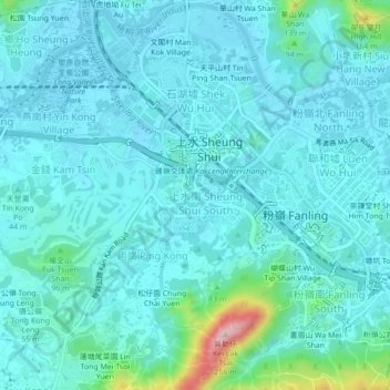
Name: 吳屋村 topographic map, elevation, terrain.
Location: 吳屋村, 上水, 北區, 新界, 香港, 518005, 中国 (22.47654 114.10714 22.51654 114.14714)
Average elevation: 31 m
Minimum elevation: -2 m
Maximum elevation: 228 m