
松園下 topographic map
Interactive map
Click on the map to display elevation.
About this map
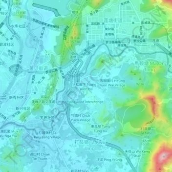
Name: 松園下 topographic map, elevation, terrain.
Location: 松園下, 北區, 新界, 香港, 518021, 中国 (22.53210 114.13699 22.57210 114.17699)
Average elevation: 41 m
Minimum elevation: 0 m
Maximum elevation: 274 m
Other topographic maps
Click on a map to view its topography, its elevation and its terrain.