
紅石門坳 topographic map
Interactive map
Click on the map to display elevation.
About this map
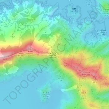
Name: 紅石門坳 topographic map, elevation, terrain.
Location: 紅石門坳, 北區, 新界, 香港, 中国 (22.49646 114.28676 22.49656 114.28686)
Average elevation: 79 m
Minimum elevation: -1 m
Maximum elevation: 275 m
Other topographic maps
Click on a map to view its topography, its elevation and its terrain.