
礼泉县 topographic map
Interactive map
Click on the map to display elevation.
About this map
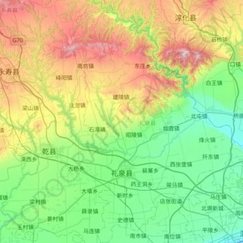
Name: 礼泉县 topographic map, elevation, terrain.
Location: 礼泉县, 咸阳市, 陕西省, 中国 (34.34358 108.29409 34.83471 108.69615)
Average elevation: 736 m
Minimum elevation: 392 m
Maximum elevation: 1,587 m
Other topographic maps
Click on a map to view its topography, its elevation and its terrain.