
河婆街道 topographic map
Interactive map
Click on the map to display elevation.
About this map
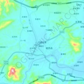
Name: 河婆街道 topographic map, elevation, terrain.
Location: 河婆街道, 揭阳市, 广东省, 中国 (23.39937 115.79053 23.47937 115.87053)
Average elevation: 74 m
Minimum elevation: 29 m
Maximum elevation: 407 m
Other topographic maps
Click on a map to view its topography, its elevation and its terrain.