
揭西县 topographic map
Interactive map
Click on the map to display elevation.
About this map
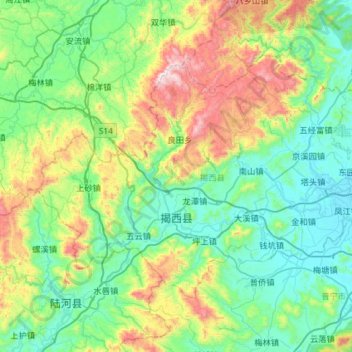
Name: 揭西县 topographic map, elevation, terrain.
Location: 揭西县, 揭阳市, 广东省, 中国 (23.31104 115.60199 23.67963 116.18391)
Average elevation: 286 m
Minimum elevation: 5 m
Maximum elevation: 1,176 m
Other topographic maps
Click on a map to view its topography, its elevation and its terrain.