
揭东区 topographic map
Interactive map
Click on the map to display elevation.
About this map
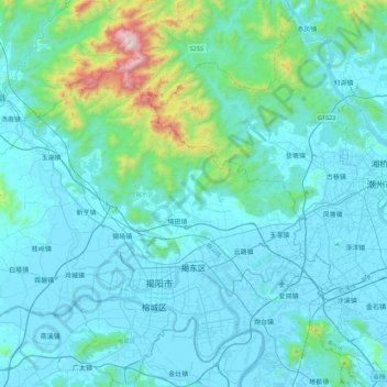
Name: 揭东区 topographic map, elevation, terrain.
Location: 揭东区, 揭阳市, 广东省, 515549, 中国 (23.51386 116.09377 23.77808 116.53469)
Average elevation: 135 m
Minimum elevation: -2 m
Maximum elevation: 1,254 m
Other topographic maps
Click on a map to view its topography, its elevation and its terrain.