
龙岭村 topographic map
Interactive map
Click on the map to display elevation.
About this map
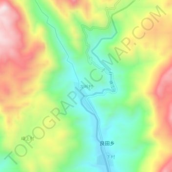
Name: 龙岭村 topographic map, elevation, terrain.
Location: 龙岭村, 揭阳市, 广东省, 中国 (23.54520 115.81805 23.58520 115.85805)
Average elevation: 432 m
Minimum elevation: 159 m
Maximum elevation: 798 m
Other topographic maps
Click on a map to view its topography, its elevation and its terrain.