
麒麟镇 topographic map
Interactive map
Click on the map to display elevation.
About this map
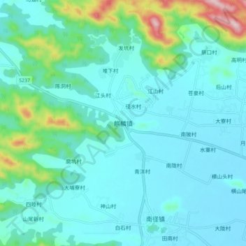
Name: 麒麟镇 topographic map, elevation, terrain.
Location: 麒麟镇, 揭阳市, 广东省, 中国 (23.33977 116.24019 23.41977 116.32019)
Average elevation: 61 m
Minimum elevation: 2 m
Maximum elevation: 361 m