
王厝村 topographic map
Interactive map
Click on the map to display elevation.
About this map
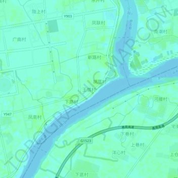
Name: 王厝村 topographic map, elevation, terrain.
Location: 王厝村, 揭阳市, 广东省, 中国 (23.47757 116.42834 23.51757 116.46834)
Average elevation: 3 m
Minimum elevation: -1 m
Maximum elevation: 7 m