
大围山镇 topographic map
Interactive map
Click on the map to display elevation.
About this map
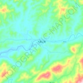
Name: 大围山镇 topographic map, elevation, terrain.
Location: 大围山镇, 浏阳市, 湖南省, 中国 (28.41921 113.96783 28.49921 114.04783)
Average elevation: 230 m
Minimum elevation: 123 m
Maximum elevation: 575 m
Other topographic maps
Click on a map to view its topography, its elevation and its terrain.