
淳口镇 topographic map
Interactive map
Click on the map to display elevation.
About this map
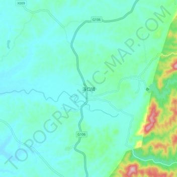
Name: 淳口镇 topographic map, elevation, terrain.
Location: 淳口镇, 浏阳市, 长沙市, 湖南省, 中国 (28.25401 113.45779 28.33401 113.53779)
Average elevation: 112 m
Minimum elevation: 64 m
Maximum elevation: 340 m
Other topographic maps
Click on a map to view its topography, its elevation and its terrain.