
沙坝里 topographic map
Interactive map
Click on the map to display elevation.
About this map
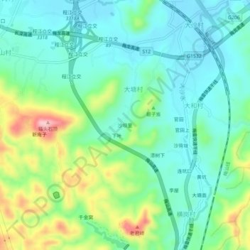
Name: 沙坝里 topographic map, elevation, terrain.
Location: 沙坝里, 梅县区, 梅州市, 广东省, 中国 (24.20984 116.04547 24.24984 116.08547)
Average elevation: 141 m
Minimum elevation: 82 m
Maximum elevation: 289 m
Other topographic maps
Click on a map to view its topography, its elevation and its terrain.