
石扇镇 topographic map
Interactive map
Click on the map to display elevation.
About this map
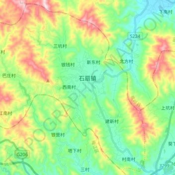
Name: 石扇镇 topographic map, elevation, terrain.
Location: 石扇镇, 梅县区, 梅州市, 广东省, 中国 (24.38271 115.99695 24.49852 116.12957)
Average elevation: 275 m
Minimum elevation: 77 m
Maximum elevation: 672 m