
禄步镇 topographic map
Interactive map
Click on the map to display elevation.
About this map
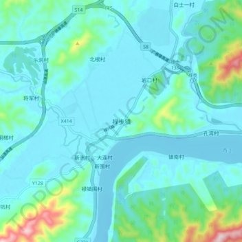
Name: 禄步镇 topographic map, elevation, terrain.
Location: 禄步镇, 肇庆市, 广东省, 中国 (23.14065 112.24944 23.22065 112.32944)
Average elevation: 67 m
Minimum elevation: -10 m
Maximum elevation: 460 m
Other topographic maps
Click on a map to view its topography, its elevation and its terrain.