
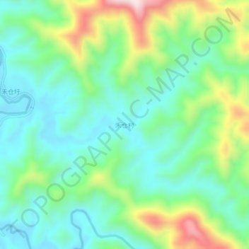
禾仓村 topographic map
Interactive map
Click on the map to display elevation.
About this map
Name: 禾仓村 topographic map, elevation, terrain.
Location: 禾仓村, 肇庆市, 广东省, 中国 (23.78347 112.44198 23.82347 112.48198)
Average elevation: 206 m
Minimum elevation: 69 m
Maximum elevation: 533 m
Other topographic maps
Click on a map to view its topography, its elevation and its terrain.