
外迳 topographic map
Interactive map
Click on the map to display elevation.
About this map
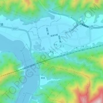
Name: 外迳 topographic map, elevation, terrain.
Location: 外迳, 睦岗街道, 端州区, 肇庆市, 广东省, 中国 (23.10779 112.39299 23.14779 112.43299)
Average elevation: 104 m
Minimum elevation: -8 m
Maximum elevation: 526 m