
钱江源 topographic map
Interactive map
Click on the map to display elevation.
About this map
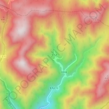
Name: 钱江源 topographic map, elevation, terrain.
Location: 钱江源, 临安区, 杭州市, 浙江省, 中国 (30.37482 119.46227 30.41482 119.50227)
Average elevation: 964 m
Minimum elevation: 484 m
Maximum elevation: 1,290 m
Other topographic maps
Click on a map to view its topography, its elevation and its terrain.