
昌化镇 topographic map
Interactive map
Click on the map to display elevation.
About this map
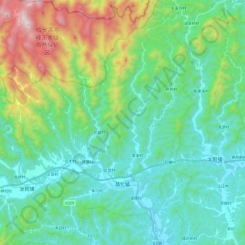
Name: 昌化镇 topographic map, elevation, terrain.
Location: 昌化镇, 临安区, 杭州市, 浙江省, 中国 (30.11853 119.10906 30.30753 119.27638)
Average elevation: 404 m
Minimum elevation: 90 m
Maximum elevation: 1,419 m
Other topographic maps
Click on a map to view its topography, its elevation and its terrain.