
黑龙池 topographic map
Interactive map
Click on the map to display elevation.
About this map
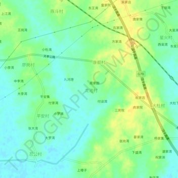
Name: 黑龙池 topographic map, elevation, terrain.
Location: 黑龙池, 黄陂区, 武汉市, 湖北省, 中国 (30.86680 114.16890 30.90680 114.20890)
Average elevation: 32 m
Minimum elevation: 21 m
Maximum elevation: 46 m
Other topographic maps
Click on a map to view its topography, its elevation and its terrain.