
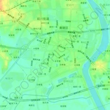
梁安里 topographic map
Interactive map
Click on the map to display elevation.
About this map
Name: 梁安里 topographic map, elevation, terrain.
Location: 梁安里, 黄陂区, 武汉市, 湖北省, 430300, 中国 (30.85453 114.34648 30.89453 114.38648)
Average elevation: 27 m
Minimum elevation: 15 m
Maximum elevation: 45 m
Other topographic maps
Click on a map to view its topography, its elevation and its terrain.