
郑家桥 topographic map
Interactive map
Click on the map to display elevation.
About this map
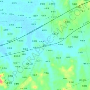
Name: 郑家桥 topographic map, elevation, terrain.
Location: 郑家桥, 黄陂区, 武汉市, 湖北省, 中国 (30.89812 114.41831 30.93812 114.45831)
Average elevation: 38 m
Minimum elevation: 23 m
Maximum elevation: 86 m
Other topographic maps
Click on a map to view its topography, its elevation and its terrain.