
周家咀 topographic map
Interactive map
Click on the map to display elevation.
About this map
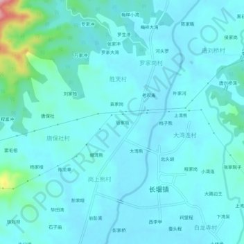
Name: 周家咀 topographic map, elevation, terrain.
Location: 周家咀, 黄陂区, 武汉市, 湖北省, 中国 (30.99446 114.41967 31.03446 114.45967)
Average elevation: 48 m
Minimum elevation: 23 m
Maximum elevation: 232 m
Other topographic maps
Click on a map to view its topography, its elevation and its terrain.