
江都 topographic map
Interactive map
Click on the map to display elevation.
About this map
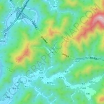
Name: 江都 topographic map, elevation, terrain.
Location: 江都, 开化县, 衢州市, 浙江省, 中国 (29.07027 118.44910 29.11027 118.48910)
Average elevation: 273 m
Minimum elevation: 130 m
Maximum elevation: 658 m
Other topographic maps
Click on a map to view its topography, its elevation and its terrain.