
茶 topographic map
Interactive map
Click on the map to display elevation.
About this map
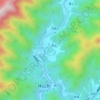
Name: 茶 topographic map, elevation, terrain.
Location: 茶, 林山乡, 开化县, 衢州市, 詹村村, 浙江省, 中国 (29.15223 118.50594 29.15418 118.50840)
Average elevation: 328 m
Minimum elevation: 166 m
Maximum elevation: 745 m