
霞村 topographic map
Interactive map
Click on the map to display elevation.
About this map
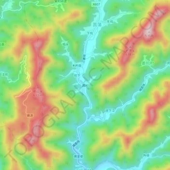
Name: 霞村 topographic map, elevation, terrain.
Location: 霞村, 林山乡, 开化县, 衢州市, 浙江省, 中国 (29.19941 118.52436 29.23941 118.56436)
Average elevation: 398 m
Minimum elevation: 227 m
Maximum elevation: 639 m
Other topographic maps
Click on a map to view its topography, its elevation and its terrain.