
柘川村 topographic map
Interactive map
Click on the map to display elevation.
About this map
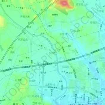
Name: 柘川村 topographic map, elevation, terrain.
Location: 柘川村, 衢州市, 浙江省, 中国 (28.97233 118.81471 29.01233 118.85471)
Average elevation: 81 m
Minimum elevation: 61 m
Maximum elevation: 143 m
Other topographic maps
Click on a map to view its topography, its elevation and its terrain.