
涧峰村 topographic map
Interactive map
Click on the map to display elevation.
About this map
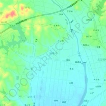
Name: 涧峰村 topographic map, elevation, terrain.
Location: 涧峰村, 衢州市, 浙江省, 中国 (29.08588 118.98225 29.12588 119.02225)
Average elevation: 84 m
Minimum elevation: 67 m
Maximum elevation: 136 m
Other topographic maps
Click on a map to view its topography, its elevation and its terrain.