
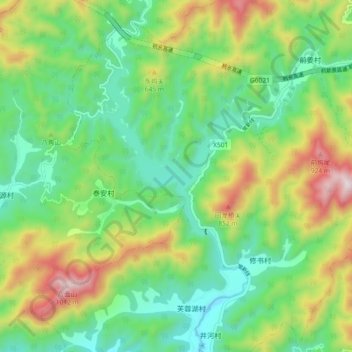
芙蓉(水下) topographic map
Interactive map
Click on the map to display elevation.
About this map
Name: 芙蓉(水下) topographic map, elevation, terrain.
Location: 芙蓉(水下), 常山县, 衢州市, 浙江省, 中国 (29.08109 118.60224 29.16109 118.68224)
Average elevation: 443 m
Minimum elevation: 152 m
Maximum elevation: 1,006 m