
下茨村 topographic map
Interactive map
Click on the map to display elevation.
About this map
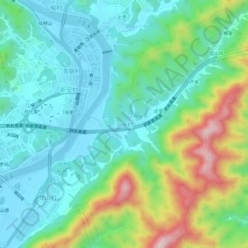
Name: 下茨村 topographic map, elevation, terrain.
Location: 下茨村, 衢州市, 浙江省, 中国 (29.06204 118.38404 29.10204 118.42404)
Average elevation: 213 m
Minimum elevation: 112 m
Maximum elevation: 476 m
Other topographic maps
Click on a map to view its topography, its elevation and its terrain.