
绥江县 topographic map
Interactive map
Click on the map to display elevation.
About this map
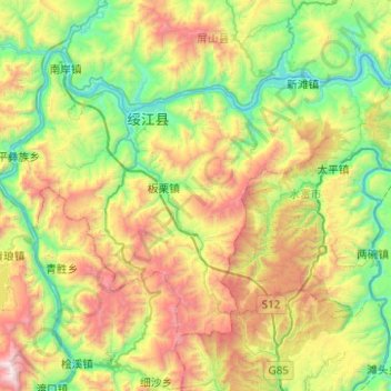
Name: 绥江县 topographic map, elevation, terrain.
Location: 绥江县, 昭通市, 云南省, 中国 (28.34988 103.77975 28.67164 104.27582)
Average elevation: 1,023 m
Minimum elevation: 270 m
Maximum elevation: 2,516 m
Other topographic maps
Click on a map to view its topography, its elevation and its terrain.