
底里 topographic map
Interactive map
Click on the map to display elevation.
About this map
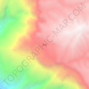
Name: 底里 topographic map, elevation, terrain.
Location: 底里, 昭通市, 云南省, 中国 (26.68810 103.10011 26.72810 103.14011)
Average elevation: 2,223 m
Minimum elevation: 1,039 m
Maximum elevation: 2,866 m
Other topographic maps
Click on a map to view its topography, its elevation and its terrain.