
大关县 topographic map
Interactive map
Click on the map to display elevation.
About this map
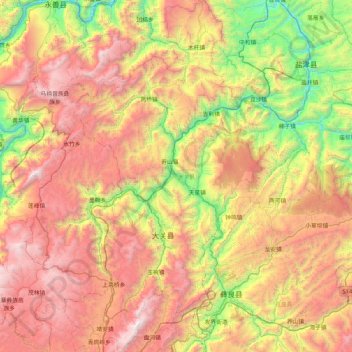
Name: 大关县 topographic map, elevation, terrain.
Location: 大关县, 昭通市, 云南省, 中国 (27.50363 103.65503 28.24590 104.12790)
Average elevation: 1,633 m
Minimum elevation: 364 m
Maximum elevation: 3,175 m
Other topographic maps
Click on a map to view its topography, its elevation and its terrain.