
太石山 topographic map
Interactive map
Click on the map to display elevation.
About this map
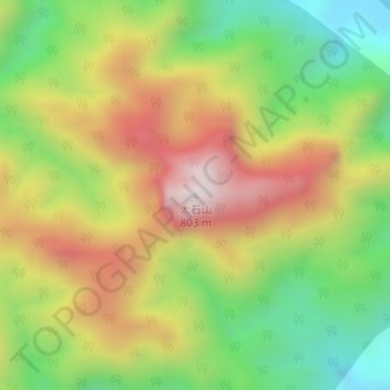
Name: 太石山 topographic map, elevation, terrain.
Location: 太石山, 温州市, 浙江省, 中国 (28.24319 120.70042 28.24329 120.70052)
Average elevation: 370 m
Minimum elevation: 19 m
Maximum elevation: 769 m
Other topographic maps
Click on a map to view its topography, its elevation and its terrain.