
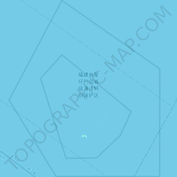
福建省星仔列岛省级海洋特别保护区 topographic map
Interactive map
Click on the map to display elevation.
About this map
Name: 福建省星仔列岛省级海洋特别保护区 topographic map, elevation, terrain.
Location: 福建省星仔列岛省级海洋特别保护区, 温州市, 浙江省, 中国 (27.01101 120.75729 27.16667 120.90687)
Average elevation: 0 m
Minimum elevation: 0 m
Maximum elevation: 9 m
Other topographic maps
Click on a map to view its topography, its elevation and its terrain.