
溪下乡 topographic map
Interactive map
Click on the map to display elevation.
About this map
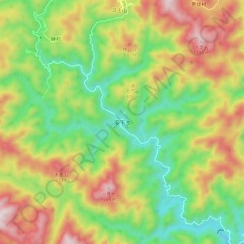
Name: 溪下乡 topographic map, elevation, terrain.
Location: 溪下乡, 温州市, 浙江省, 中国 (28.45910 120.44485 28.53910 120.52485)
Average elevation: 715 m
Minimum elevation: 346 m
Maximum elevation: 1,204 m
Other topographic maps
Click on a map to view its topography, its elevation and its terrain.