
中果 topographic map
Interactive map
Click on the map to display elevation.
About this map
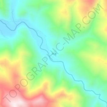
Name: 中果 topographic map, elevation, terrain.
Location: 中果, 昌都市, 西藏自治区, 中国 (30.43306 98.26058 30.47306 98.30058)
Average elevation: 4,233 m
Minimum elevation: 3,983 m
Maximum elevation: 4,678 m
Other topographic maps
Click on a map to view its topography, its elevation and its terrain.