
邦达 topographic map
Interactive map
Click on the map to display elevation.
About this map
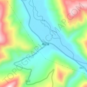
Name: 邦达 topographic map, elevation, terrain.
Location: 邦达, 昌都市, 西藏自治区, 中国 (30.19083 97.27155 30.23083 97.31155)
Average elevation: 4,268 m
Minimum elevation: 4,103 m
Maximum elevation: 4,611 m
Other topographic maps
Click on a map to view its topography, its elevation and its terrain.