
东达山 topographic map
Interactive map
Click on the map to display elevation.
About this map
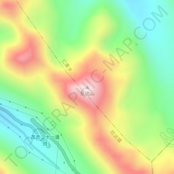
Name: 东达山 topographic map, elevation, terrain.
Location: 东达山, 昌都市, 西藏自治区, 中国 (29.73075 97.98835 29.73085 97.98845)
Average elevation: 5,047 m
Minimum elevation: 4,786 m
Maximum elevation: 5,408 m
Other topographic maps
Click on a map to view its topography, its elevation and its terrain.