
夏拉村 topographic map
Interactive map
Click on the map to display elevation.
About this map
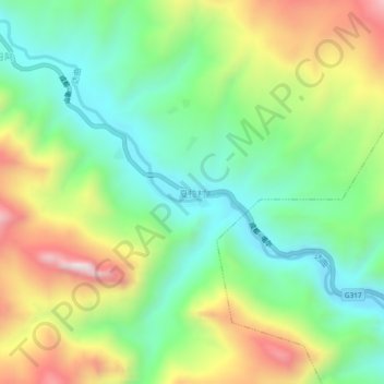
Name: 夏拉村 topographic map, elevation, terrain.
Location: 夏拉村, 昌都市, 西藏自治区, 中国 (31.33541 95.66893 31.37541 95.70893)
Average elevation: 3,978 m
Minimum elevation: 3,703 m
Maximum elevation: 4,434 m
Other topographic maps
Click on a map to view its topography, its elevation and its terrain.