
拉乌村 topographic map
Interactive map
Click on the map to display elevation.
About this map
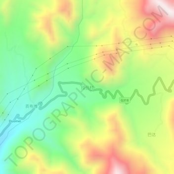
Name: 拉乌村 topographic map, elevation, terrain.
Location: 拉乌村, 昌都市, 西藏自治区, 中国 (29.69834 98.41143 29.73834 98.45143)
Average elevation: 3,739 m
Minimum elevation: 3,348 m
Maximum elevation: 4,257 m
Other topographic maps
Click on a map to view its topography, its elevation and its terrain.