
都龙镇 topographic map
Interactive map
Click on the map to display elevation.
About this map
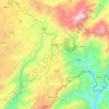
Name: 都龙镇 topographic map, elevation, terrain.
Location: 都龙镇, 马关县, 文山壮族苗族自治州, 云南省, 中国 (22.78879 104.44697 22.97779 104.65985)
Average elevation: 1,321 m
Minimum elevation: 413 m
Maximum elevation: 2,536 m
Other topographic maps
Click on a map to view its topography, its elevation and its terrain.