
仁和镇 topographic map
Interactive map
Click on the map to display elevation.
About this map
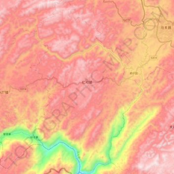
Name: 仁和镇 topographic map, elevation, terrain.
Location: 仁和镇, 马关县, 文山壮族苗族自治州, 云南省, 中国 (22.83777 104.21414 23.04815 104.36157)
Average elevation: 1,391 m
Minimum elevation: 505 m
Maximum elevation: 1,871 m
Other topographic maps
Click on a map to view its topography, its elevation and its terrain.