
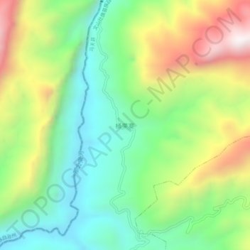
桶果寨 topographic map
Interactive map
Click on the map to display elevation.
About this map
Name: 桶果寨 topographic map, elevation, terrain.
Location: 桶果寨, 八寨镇, 马关县, 文山壮族苗族自治州, 云南省, 中国 (22.95380 103.93600 22.99380 103.97600)
Average elevation: 869 m
Minimum elevation: 483 m
Maximum elevation: 1,507 m