
古林箐乡 topographic map
Interactive map
Click on the map to display elevation.
About this map
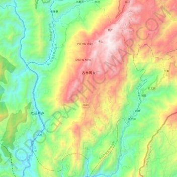
Name: 古林箐乡 topographic map, elevation, terrain.
Location: 古林箐乡, 马关县, 文山壮族苗族自治州, 云南省, 中国 (22.68461 103.88169 22.89758 104.03846)
Average elevation: 839 m
Minimum elevation: 135 m
Maximum elevation: 2,002 m
Other topographic maps
Click on a map to view its topography, its elevation and its terrain.