
天棚 topographic map
Interactive map
Click on the map to display elevation.
About this map
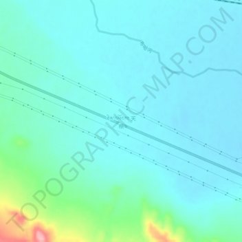
Name: 天棚 topographic map, elevation, terrain.
Location: 天棚, 天峻县, 海西蒙古族藏族自治州, 青海省, 中国 (37.16099 99.24034 37.20099 99.28034)
Average elevation: 3,330 m
Minimum elevation: 3,307 m
Maximum elevation: 3,452 m
Other topographic maps
Click on a map to view its topography, its elevation and its terrain.