
哈拉湖 topographic map
Interactive map
Click on the map to display elevation.
About this map
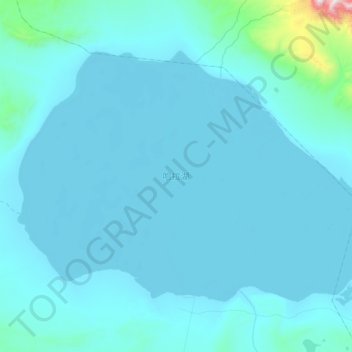
Name: 哈拉湖 topographic map, elevation, terrain.
Location: 哈拉湖, 天峻县, 海西蒙古族藏族自治州, 青海省, 中国 (38.19353 97.40025 38.41656 97.79745)
Average elevation: 4,137 m
Minimum elevation: 4,075 m
Maximum elevation: 5,438 m
Other topographic maps
Click on a map to view its topography, its elevation and its terrain.